Picture starting your day with coffee on a bluff-top path, watching surfers carve clean lines below the lighthouse. That is the Santa Cruz Westside at its best: easy coastal access, neighborhood streets that feel close to everything, and daily rhythms shaped by the ocean. If you are considering a move, you likely want to know how the Westside actually lives, where different pockets are, and what tradeoffs to plan for. This guide walks you through daily life, housing character, and key logistics so you can explore with confidence. Let’s dive in.
Westside at a glance
Locals use “Westside” to describe the western portion of the City of Santa Cruz facing Monterey Bay, including West Cliff Drive, Lighthouse Point, and inland residential areas like Westlake and the Circles. Boundaries are informal, with Mission, Bay, and Delaware commonly named as anchor streets, and the area tied together by the coastal terraces above the water. For context on how the name is used, review this brief local history overview of the Westside neighborhood.
From a market standpoint, major trackers consistently place the Westside in the high-value tier for Santa Cruz, with median list prices commonly in the seven figures. Numbers shift month to month, and waterfront or Westlake pockets often exceed broader city medians. Check current neighborhood medians and inventory on Redfin’s Westside page before you tour.
Daily rhythm on the coast
West Cliff Drive
The Westside’s signature public space is West Cliff Drive, a paved, mostly flat path that traces the bluffs for roughly three miles. It is where you will see morning jogs, bike commutes, dog walks, and golden-hour sunset crowds. Think of it as a continuous waterfront spine that connects beaches, viewpoints, and side streets. For visitor basics and local tips, the county tourism FAQ is a helpful starting point.
Surf culture at Steamer Lane
Surfing is central to Westside identity. Steamer Lane is among Santa Cruz’s most famous breaks, with cliffside viewing and a steady stream of locals in the water. The compact Santa Cruz Surfing Museum inside the Mark Abbott Memorial Lighthouse overlooks the lineup, and the coastline here is recognized as part of a World Surfing Reserve. Learn more about the Lane’s lore and vantage points in this Steamer Lane feature.
Beaches and wildlife
At the western end of West Cliff Drive, Natural Bridges State Beach offers tidepools, a remaining sandstone arch, and a seasonal monarch-butterfly grove. It is a family favorite and an ecological highlight, with weekend and summer use that feels lively. Get official park details and seasonal notes from Natural Bridges State Beach.
Food, coffee, and easy nights
You will find a relaxed, local mix of cafés and neighborhood spots along Mission and Delaware, plus waterfront dining near the harbor. If you want a classic harbor experience, The Crow’s Nest is a long-running example many locals cite when they describe dining by the water, as noted in the county’s visitor Traveler’s Guide. Day to day, your routine might be coffee after a cliff walk, tacos or a bistro dinner, then a quiet stroll before sunset. The vibe skews unhurried, with most places packed on warm weekends and summer evenings.
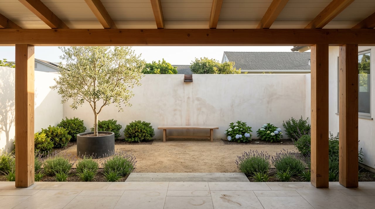
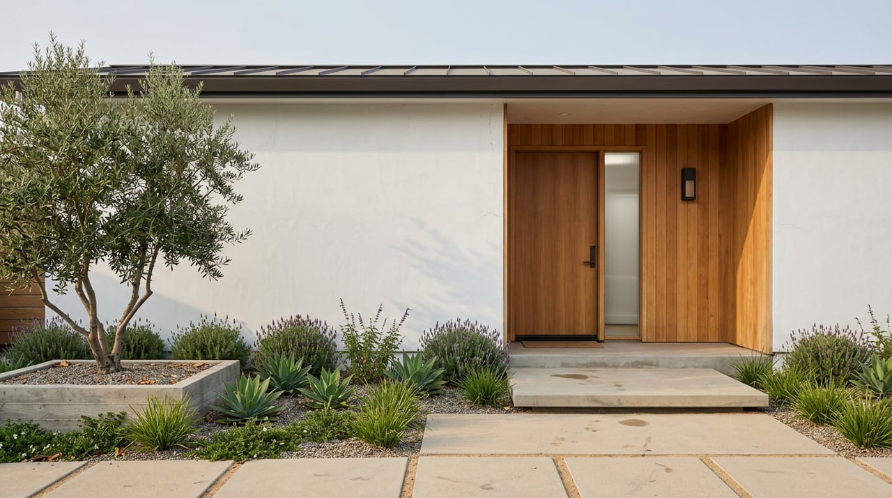
Neighborhood pockets and housing character
The Westside shifts quickly from wind-swept bluffs to leafy inland streets. Your lifestyle and price range will guide the best fit.
West Cliff and Lighthouse Field
Along the coastal strip, you will see a small number of oceanfront houses, cliff-top condos, and highly sought blocks defined by views and immediate promenade access. Daily life here is about open windows, salt air, and quick walks to watch a swell fill in at the Lane. Prices in this micro-pocket often command a premium within the neighborhood.
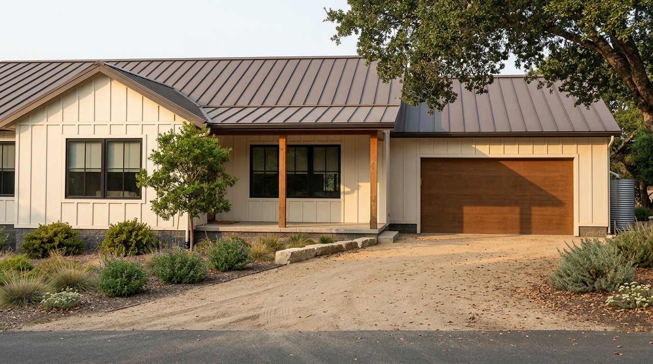
Upper Westside and Westlake
Up the hill, Westlake and the Upper Westside offer quieter, tree-lined streets with single-family homes, mid-century ranches, and some craftsman bungalows. Many households choose this pocket for its residential feel while staying minutes from downtown and the coast. A 2024–2025 guide notes Westlake homes typically selling in the mid–seven-figure range, which aligns with its established character and location; see the Westlake neighborhood overview for context.
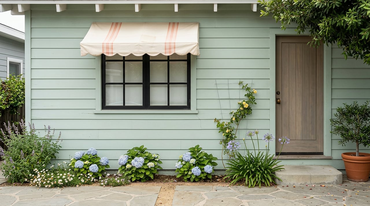
Near-shore cottages and Seabright/Beach Flats
Closer to the beach and wharf areas, you will find smaller lots, classic beach-cottage stock, and the most evident summer visitor energy. These blocks feel more “beach town,” with fast access to the harbor and sandy stretches like Seabright Beach.
Mobile-home and multifamily pockets
Scattered through the Westside are mobile-home communities and denser multifamily clusters, including listings along Delaware Avenue. By Santa Cruz standards, these segments can present relative value, though availability and pricing fluctuate. Always verify current options and comparables through live neighborhood trackers.
Getting around
Walkability depends on your exact block. Many streets are an easy stroll to the promenade or downtown, while inland areas can be hillier. Grocery options, cafés, and services cluster along Mission and Delaware, and neighborhood errands can often be bike-friendly.
Public transit is a daily tool for students and commuters. Santa Cruz METRO runs routes serving the Westside with direct connections to UCSC and downtown, and it operates Highway 17 commuter service to the South Bay. Schedules and frequency vary, so review published plans and route details in METRO’s system materials, such as the Short Range Transit Plan.
Schools and family logistics
Schools commonly cited for Westside families include Westlake Elementary, Mission Hill Middle, and Santa Cruz High. Attendance boundaries and program details can change, so confirm the exact assignment with official district resources. Start with the Westlake Elementary site and follow district links for boundary lookup and enrollment steps.
Coastal realities to plan for
Coastal erosion and sea-level rise are active planning issues for Santa Cruz’s shoreline. The Natural Bridges arches themselves are a visible example of historical bluff retreat, and West Cliff has ongoing maintenance and planning needs. Before you buy or renovate near the coast, review local coastal program policies, FEMA flood information, and any recorded permits. The county’s Sea Level Rise Vulnerability Assessment is a good resource to begin due diligence on coastal risk and planning.
Smart home-shopping checklist
- Visit your target block at different times to gauge traffic, parking, and evening noise.
- Confirm school assignment and transportation options directly with the district.
- Check live neighborhood medians, days on market, and inventory right before you make an offer.
- If you are near the bluff or low-lying areas, verify elevation, flood exposure, and coastal-setback constraints with county and state maps.
- Ask for recent permit history, including any shoreline or stabilization work for cliff-adjacent lots.
Plan your first Westside visit
- Start on West Cliff Drive for a sunrise or sunset walk and watch a session at Steamer Lane from the lighthouse overlook.
- Head to Natural Bridges for tidepools or monarch season, depending on time of year.
- Grab coffee or a casual lunch along Mission or Delaware, then drive to the harbor for waterfront views.
- Finish with a quick loop through Upper Westside or Westlake to experience how quickly the landscape shifts from ocean bluffs to tree-lined streets.
Ready to explore homes on the Westside?
If the Westside fits your lifestyle, you deserve a calm, organized process and a design-forward plan for your move. From pricing and preparation to due diligence on coastal and land factors, you will have steady guidance each step of the way. Connect with Kathleen Manning to refine your search and tour the pockets that match your goals.
FAQs
What area does the “Santa Cruz Westside” cover?
- Locals use “Westside” for the city’s western coastal terraces that include West Cliff Drive, Lighthouse Point, Natural Bridges, and inland streets around Mission, Bay, and Delaware.
Is the Westside walkable and bike-friendly?
- Many pockets are great for walking or biking to the promenade, shops, and downtown, though inland blocks can be hillier and exact walkability varies by address.
What is Steamer Lane like for non-surfers?
- It is a top surf break with cliffside viewing, so you can watch sessions safely from above and visit the small Surfing Museum by the lighthouse.
Which schools serve Westside addresses?
- Westlake Elementary, Mission Hill Middle, and Santa Cruz High are commonly cited; confirm the exact school assignment with the district before you buy.
How competitive is the Westside housing market?
- It is a high-value Santa Cruz area with seven-figure medians, and pricing varies widely by block and view; check live data just before you write an offer.
What should I know about coastal risks near West Cliff?
- Coastal erosion and sea-level rise are active issues, so review official maps and local coastal program policies and verify any shoreline-related permits before you proceed.